About
Geo-spatial Technology and Its Application in Various Application Fields-Addon/Certificate Course
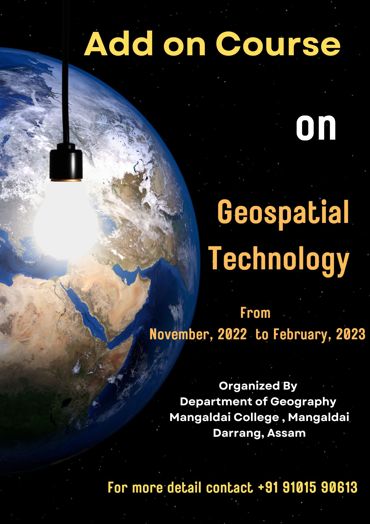
Designed by :Geography Commencement Year : 2018 Intake Capacity : 50 Course Duration : 3 months Fees : 300 Document uploaded by: Geography Department Geoinformatics consists of Geographic Information System (GIS), space based Remote Sensing and Global Positioning Systems (GPS), which has emerged as an indispensable management and decision-making tool. Satellite remote sensing as a part of space technology, by virtue of synoptic coverage, repeativity, high resolution and multispectral information constitutes an important source of spatial information for various fields of application such as forest management, land use planning, biodiversity conservation, etc. While, GIS acts as a computerized database management tool, which offers spatial solutions for planning, problem analysis and monitoring related to field of application. Applications of geoinformatics are gaining importance in several countries of the world to address the various issues related to environmental studies and management. Their applications includes land use planning, preparation of base maps, sprawl mapping, plan implementation monitoring, facility and utility information system, environmental studies, hydrology and flooding, study of population and population density, site suitability analysis for different aspects, mapping of squatter and slum settlements, cadastral information etc. Considering all these importance the Department of Geography, Mangaldai College is going to introduce an add on course on Geoinformatics and Application in Environmental Management for students and technical personnel from 16th November, 2022 to 16th February 2023.
View DocumentationBanner